ADVANCED ENVIRONMENTAL RECONNAISSANCE AND INTELLIGENCE SYSTEM
Atmospheric data. Actionable insight.
The Advanced Environmental Reconnaissance and Intelligence System (AERIS) family by Saqqara represents a new generation of intelligent aerial systems, purpose-built for real-time sensing, situational awareness, and mission-critical operations. Each product in the AERIS line is designed to address specific operational needs across civil, defence, and emergency response sectors. Together, the AERIS line transforms raw atmospheric data into actionable insight supporting faster, safer, and smarter missions from the air.
IN DETAIL
AERIS product range.
AERIS Node
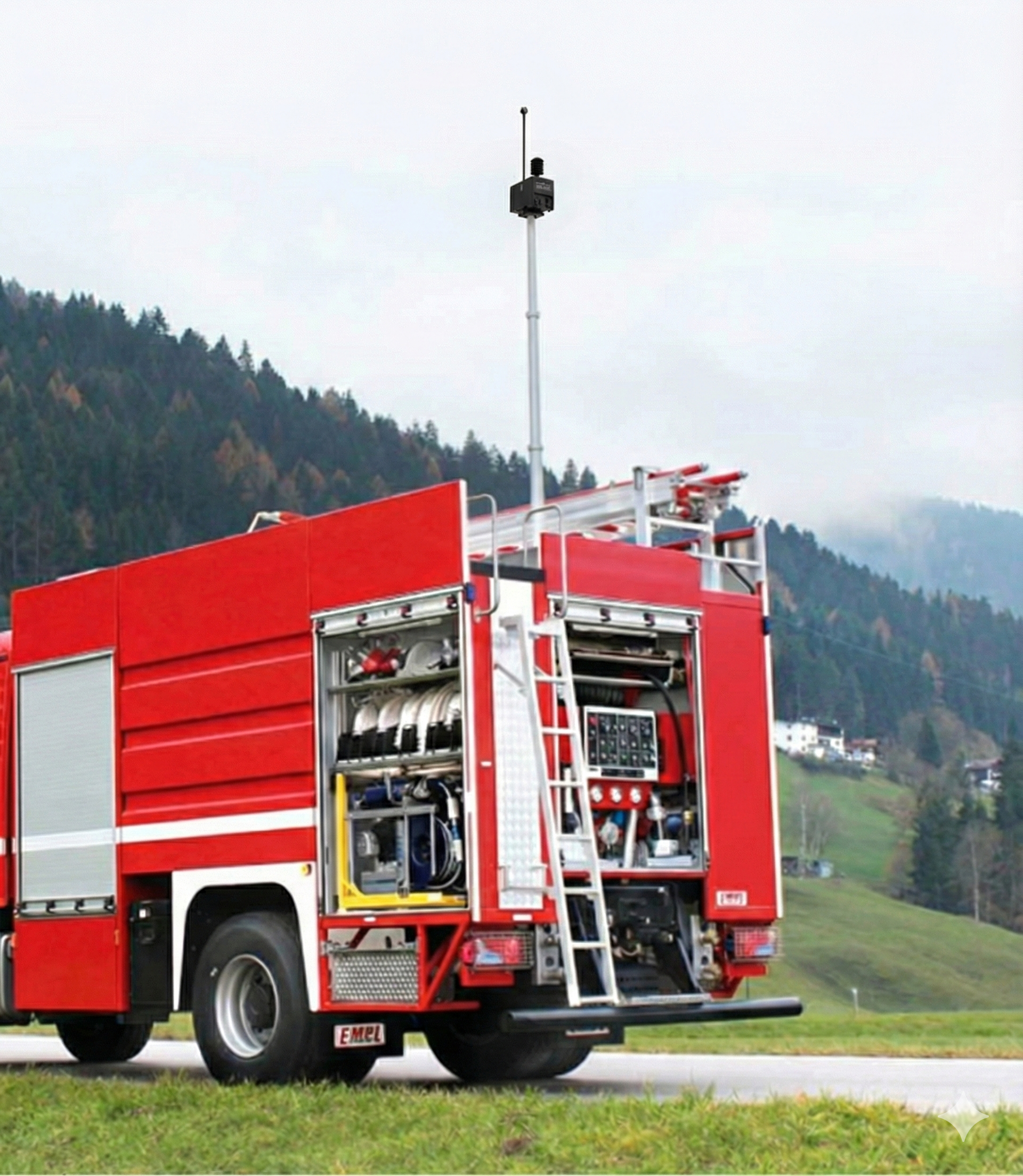
A compact, high-precision environmental sensing module designed for seamless integration into autonomous systems or fixed installations.
CAPABILITIES & FEATURES
Compact sensing. Comprehensive capability.
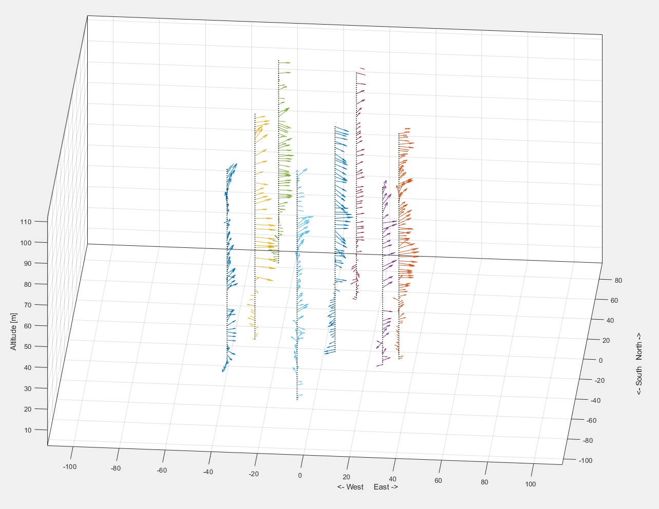
3D wind vectors
310-degree 3D wind-vector resolving capability.
TAK integration
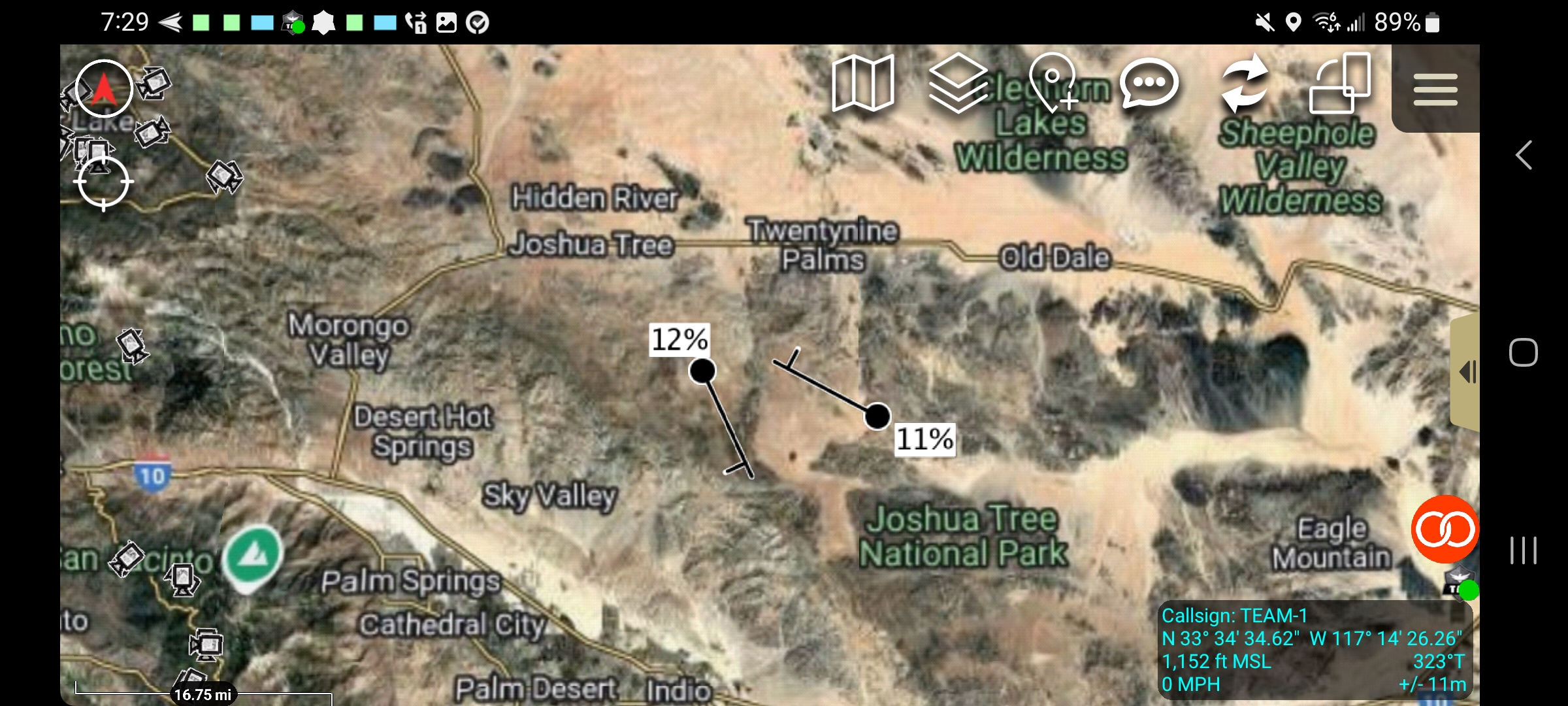
Real-time mapping and relay to multiple devices, supporting decentralised control.
Harsh environments
IP68 rating and operation without noise interference.
Dynamic calibration
IMU-resolved wind vectors account for vehicle dynamics to support accurate measurements.
Wireless connectivity
Cellular and WiFi connectivity for data transmission.
GPS & IMU
Onboard GPS and inertial measurement enable standalone operation.
AERIS TAK
AERIS TAK is an advanced situational awareness platform designed to integrate data from multiple aerial and ground-based sources into a unified virtual environment. By delivering real-time visualisation and analytics.
The systems empowers emergency responders to make faster, more informed decisions-ultimately enhancing coordination, reducing response times, and saving lives during critical firefighting and disaster operations.
IN DETAIL
A connected view of the mission.
CAPABILITIES & FEATURES
Coordinate. Visualise. Respond.
Shared operational maps
Real-time team tracking; fire-perimeter, terrain and hazard overlays; offline maps and dynamic annotations.
Live data & coordination
Live drone and sensor data integration and control, secure in-app messaging, mission planning, tasking and geofencing.
Prediction & monitoring
Distributed sensors support plume and fire monitoring and prediction using fire models. Display vehicle-mounted sensor arrays and track personnel beacons and health monitoring. Selected platforms can be controlled from the interface.
AERIS High Wind Drone
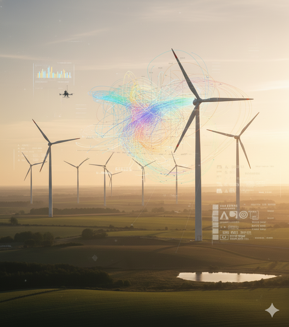
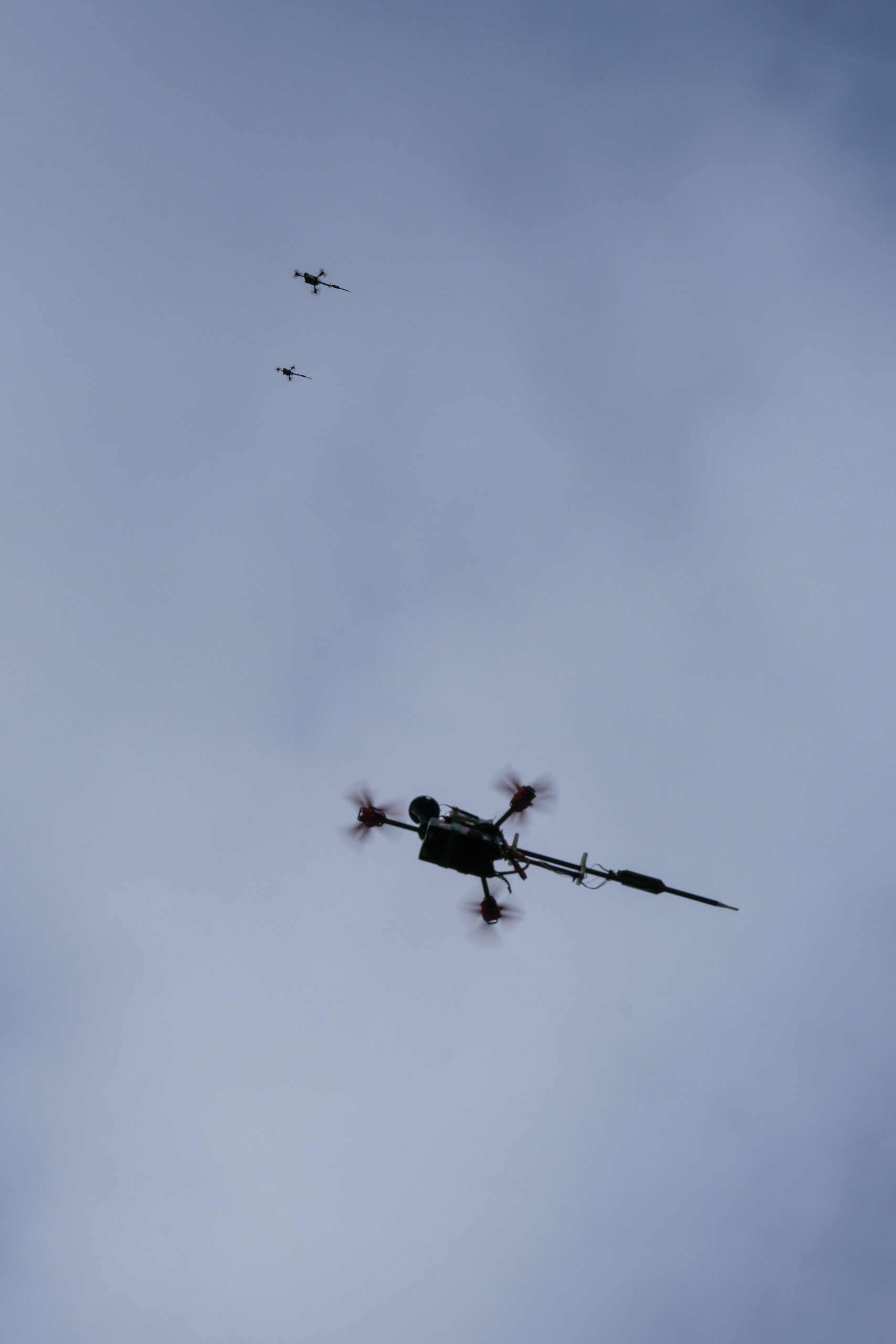
AERIS high-wind Drone is purpose built multi-rotor capable of withstanding elevated wind speed. multiple drones operate together to capture boundary layers or map flow features at high spatial and temporal resolutions.
IN DETAIL
Built for challenging conditions.
CAPABILITIES & FEATURES
Stable flight. Detailed flow measurements.
High-wind stability
A purpose-built multirotor design for elevated wind speeds.
TAK integration
Real-time mapping and relay to multiple devices with decentralised control.
Harsh-environment operation
IP68 rating and operation without noise interference.