VTOL aerial services.
A clearer view from above.

Mission-ready aerial systems for surveying, environmental sensing and maritime awareness. Saqqara combines fixed-wing VTOL aircraft, mission-specific sensors and aerospace engineering expertise to develop aerial solutions around operational needs.

AEROSPACE LEGACY. ENGINEERED FOR THE FUTURE.

MISSION APPLICATIONS

The right perspective for your mission.

From agricultural land to offshore operations, we work with you to select an aerial approach and sensors suited to the information you need.

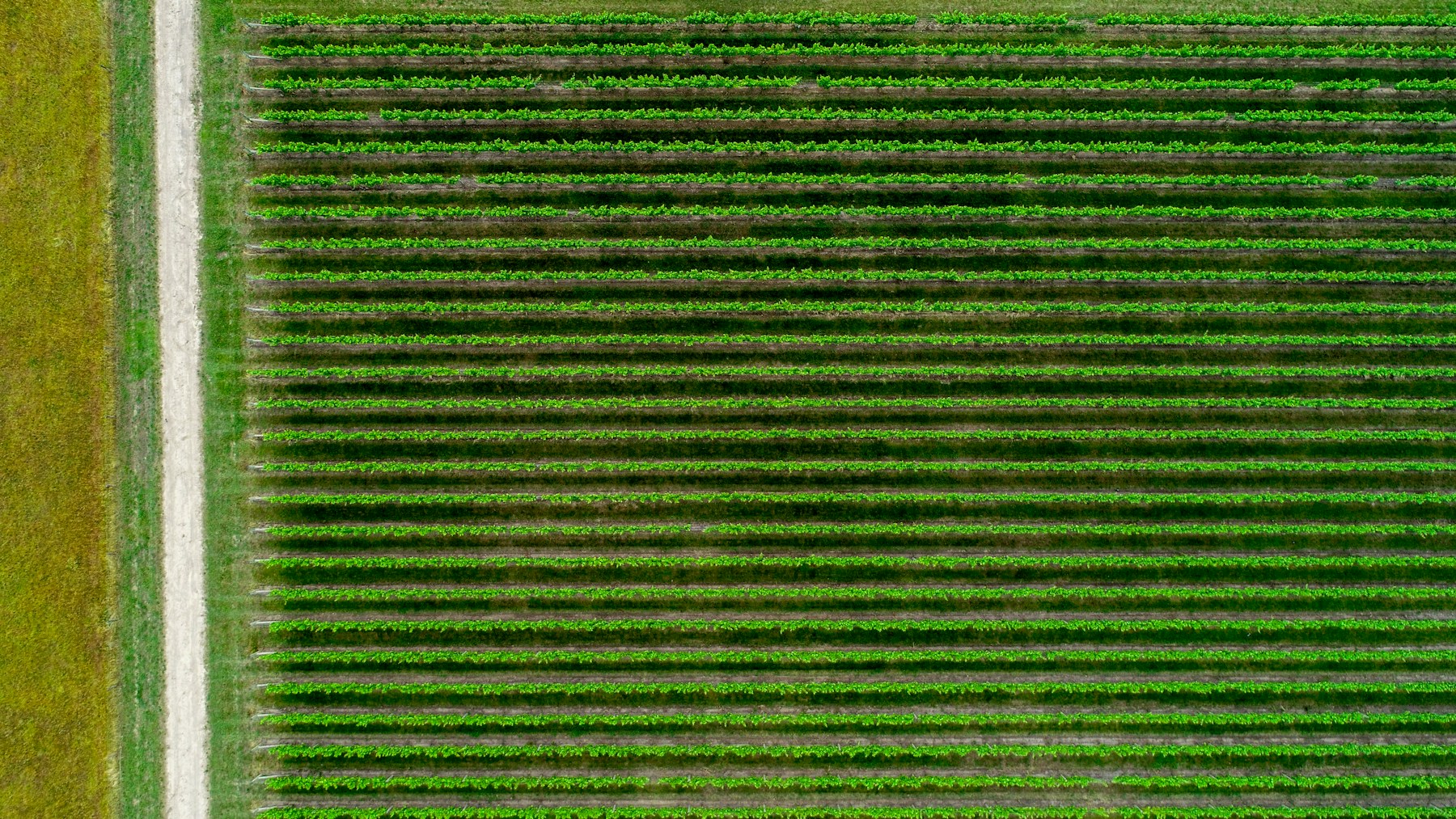
Aerial view of agricultural fields in western Victoria

Agriculture

Capture aerial imagery to support crop monitoring, property surveys and land assessment.

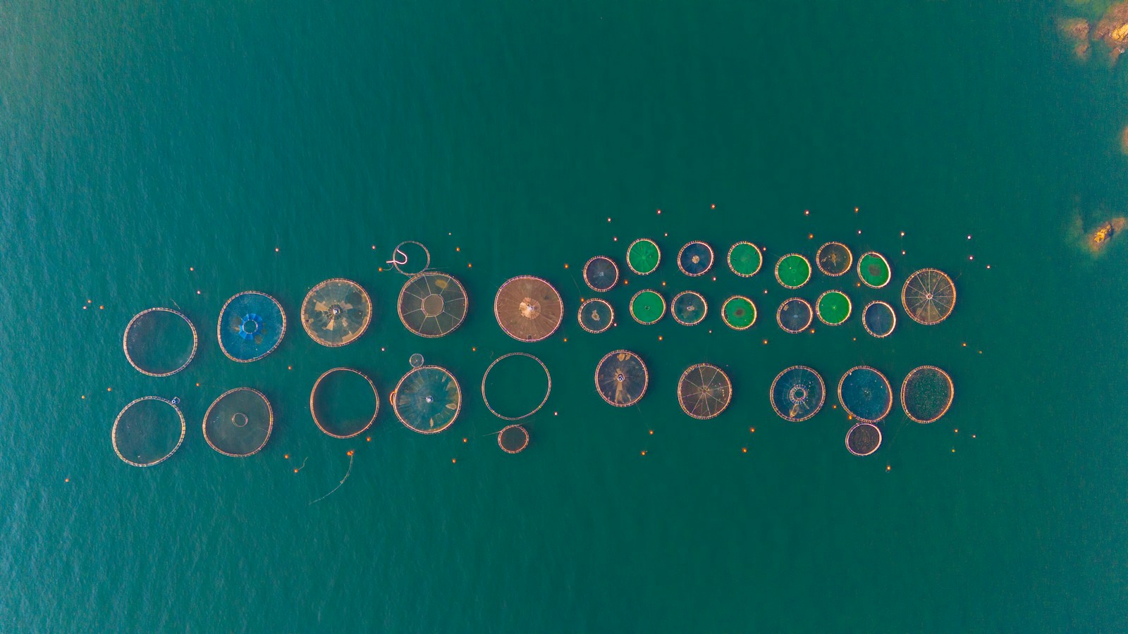
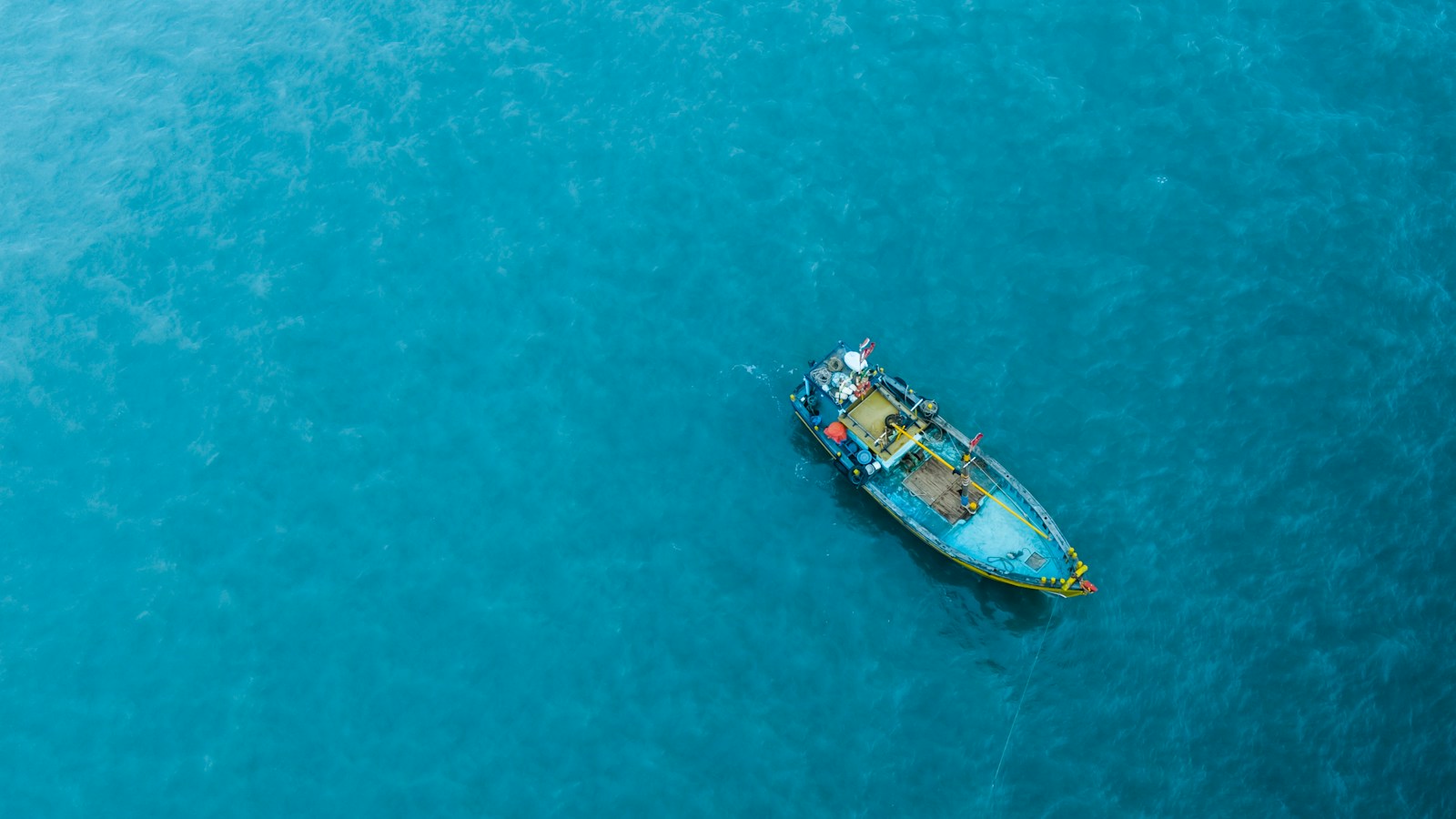
Aerial view of offshore aquaculture pens

Aquaculture

Use aerial observations to support site monitoring, infrastructure inspection and operational awareness.

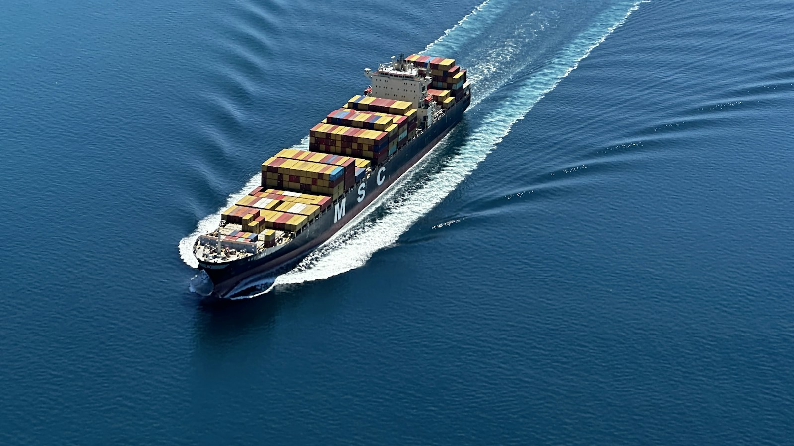
Aerial view of a cargo ship in Port Phillip Bay

Maritime awareness

Gather aerial imagery and sensor data to support vessel observation and situational awareness.

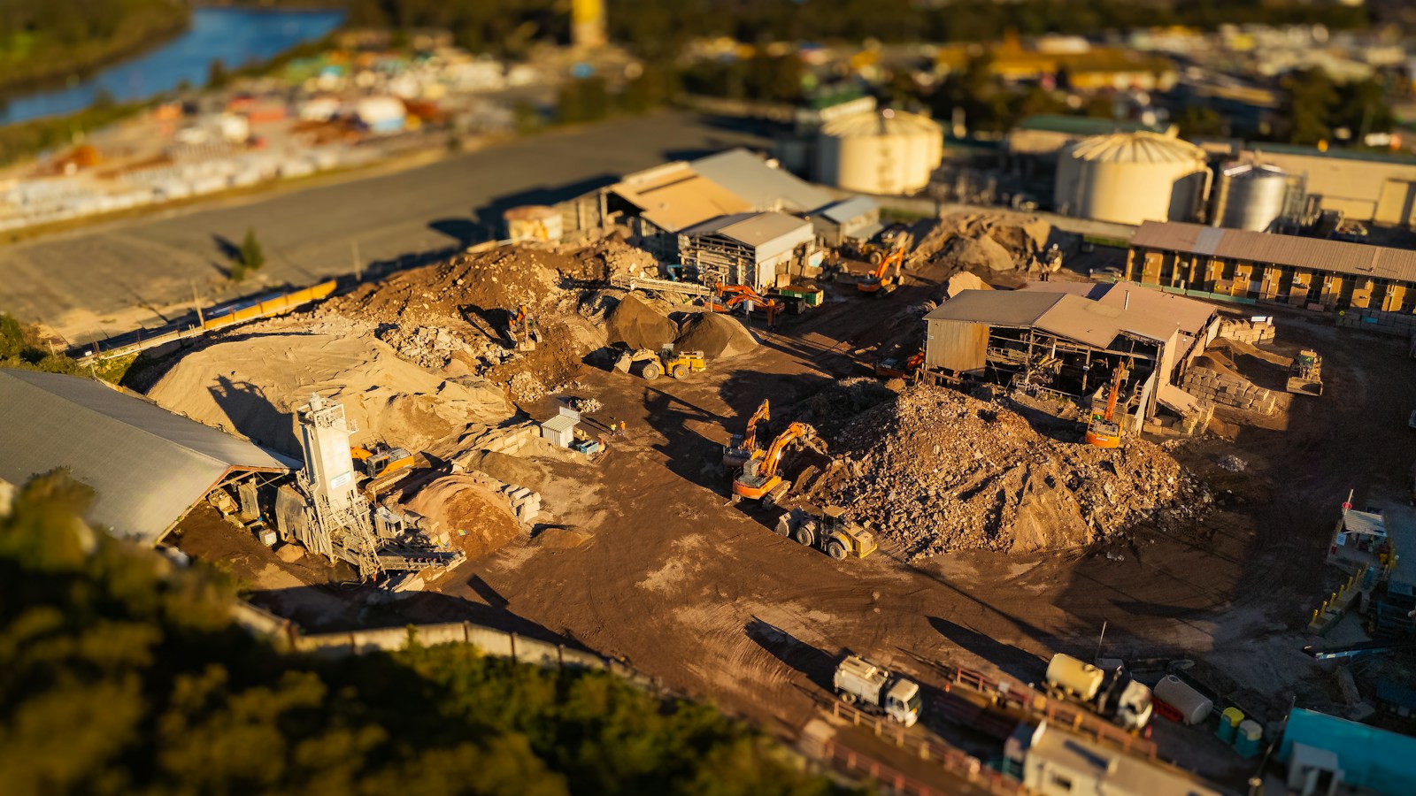
Aerial view of a construction site and machinery

Infrastructure

Survey assets and surrounding areas to support inspection planning and site assessment.

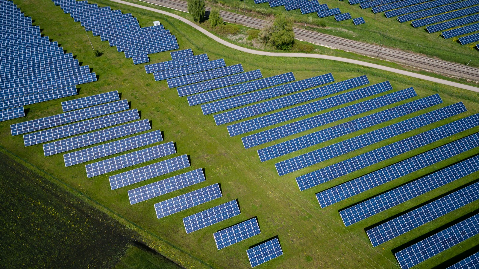
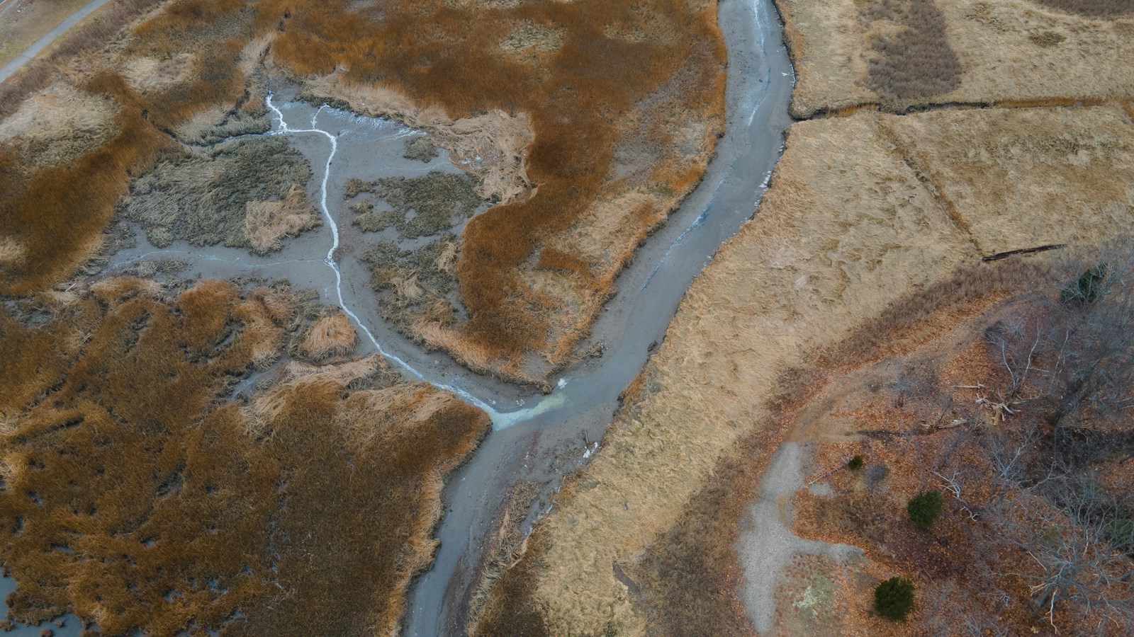
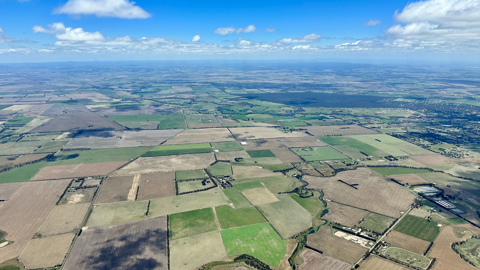
Aerial view of countryside and agricultural fields

Mapping & environmental sensing

Collect imagery and integrate suitable sensors for mapping, environmental monitoring and specialist studies.

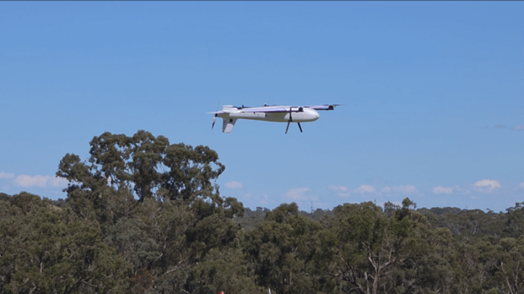
Saqqara fixed-wing VTOL aircraft flying above trees

ISR & situational awareness

Support aerial observation and situational awareness with mission-relevant imagery and sensors.

SAQQARA VTOL / AERIAL SOLUTIONS

An aircraft solution
built around your mission.

Our fixed-wing VTOL platform is part of an integrated aerial services offering. We work with you to define the mission, select suitable sensors and plan an approach for your operational needs.

LET’S BUILD WHAT’S NEXT

Your challenge. Our next conversation.

SAQQARA AEROSPACE

Australian expertise.
Engineering for a world in motion.

© 2026 Saqqara Aerospace Pty Ltd · Melbourne, Australia